
Exploring the area car-free

It’s not essential to have access to a car to enjoy everything the area has to offer. There are train stations located in, or close to, the Suffolk & Essex Coast & Heaths National Landscape which provide accessible entry points to some of the area’s most beloved locations.
From these stations you can explore either shorter circular walks, or station-to-station walks, with regular services operated by Greater Anglia. For more information on exploring the area by train, visit www.greateranglia.co.uk or www.eastsuffolklines.co.uk. The Good Journey - Journey Planner website also can help you plan car-free journeys across the UK.
To help you get the best out of your visit to the Coast & Heaths, please consider arriving in the area by public transport. We’ve provided advice for arriving at three of the area's main train stations and inspiration for different walks!
Manningtree Staton
Manningtree Station is a gateway to the southern part of the National Landscape in North Essex, connecting with services to London, Ipswich, and Norwich.
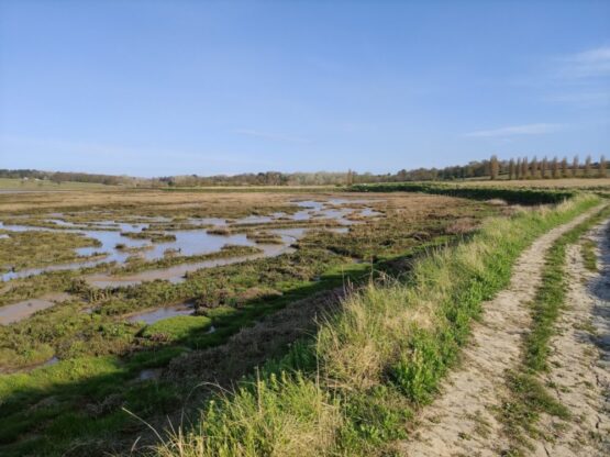
The Mayflower Line follows the path of the estuary of the Stour to Harwich. The train stops at Mistley, as well as Wrabness, with the final stop in Harwich Town, from where ferry services run to both Felixstowe and Shotley.
The Mayflower Line offers endless possibilities for walks. Walk point-to-point along the Stour in either direction or navigate circular walks following popular footpaths. For those looking for a long-distance adventure, you can even hop across the Stour and combine your walk with a ferry trip to one of the peninsulas!
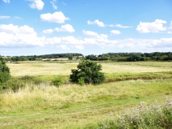
Wrabness
Mistley
Melton Station
Part of the Greater Anglia line that connects Ipswich Station and Lowestoft, from Melton Station you can enjoy healthy walks of all distances.
Situated on the banks of the Deben, from the station you can walk south along the river to Woodbridge, part of the long-distance Sandlings Walk, enjoying views of birds across the river. Then either walk back to Melton or hop on the train from Woodbridge for one stop.
To explore the more heathland sections of the Sandlings Walk towards Southwold, follow signposts across the Wilford Bridge, and pick up the route as it heads east through Bromeswell to Rendlesham Forest, enjoying glorious heathland and woodland. For a more leisurely day out, follow the B1083 to the spectacular Sutton Hoo National Trust site.

Rendlesham Forest
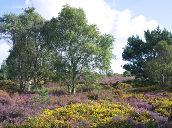
Sutton Heath
Trimley Station
Located on the Greater Anglia line that connects Felixstowe and Ipswich stations, Trimley is an ideal entry point to enjoying both the river Deben and the Orwell.
From Trimley Station, you have the option to head west, walking down to Trimley Marshes on the banks of the Orwell. Either follow the river all the way to Ipswich station via Levington, Nacton and Orwell Country Park, or loop back to Trimley station through the farmland footpaths in Trimley Lower Street.
Alternatively, from Trimley Station you can head north through the villages of Kirton and Hemley and pick up the footpath along the Deben and follow the river east all the way to the coast to Felixstowe Ferry.
Take in views across to Ramsholt and Bawdsey Quay on your way, and even pop across the river on the ferry, and then you can catch the train back to Trimley from Felixstowe station.
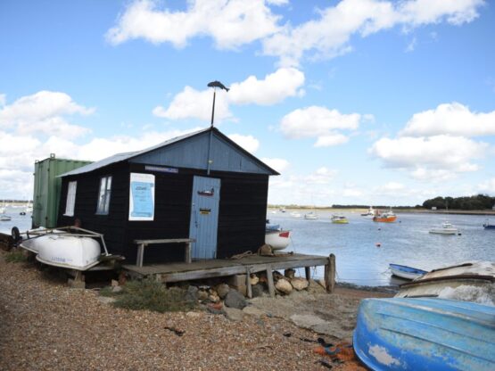
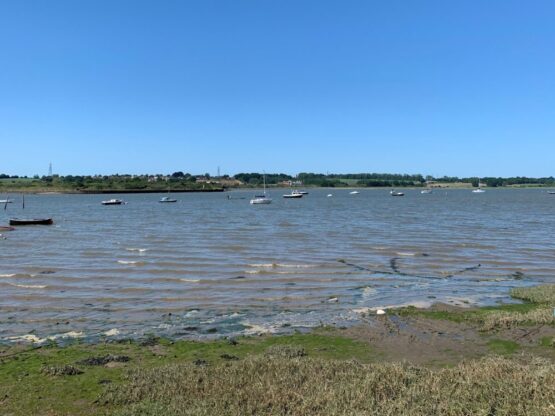
Felixstowe Ferry
Trimley Marshes