
England Coast Path
Suffolk now has its first National Trail following the launch of the new King Charles III England Coast Path.
The King Charles III England Coast Path National Trail is a new path that, once complete, will be the longest managed coastal path in the world.
It will go all the way around the coast of England and will be around 2,700 miles (4345 km) long when it is complete. providing free public access to England’s entire coastline for the first time.
National Trails are long-distance walks through some of the very best and most beloved landscapes the UK has to offer, including the South West Coast Path, Hadrian's Wall Path, Pennine Way, Coast to Coast Path, and the Thames Path.
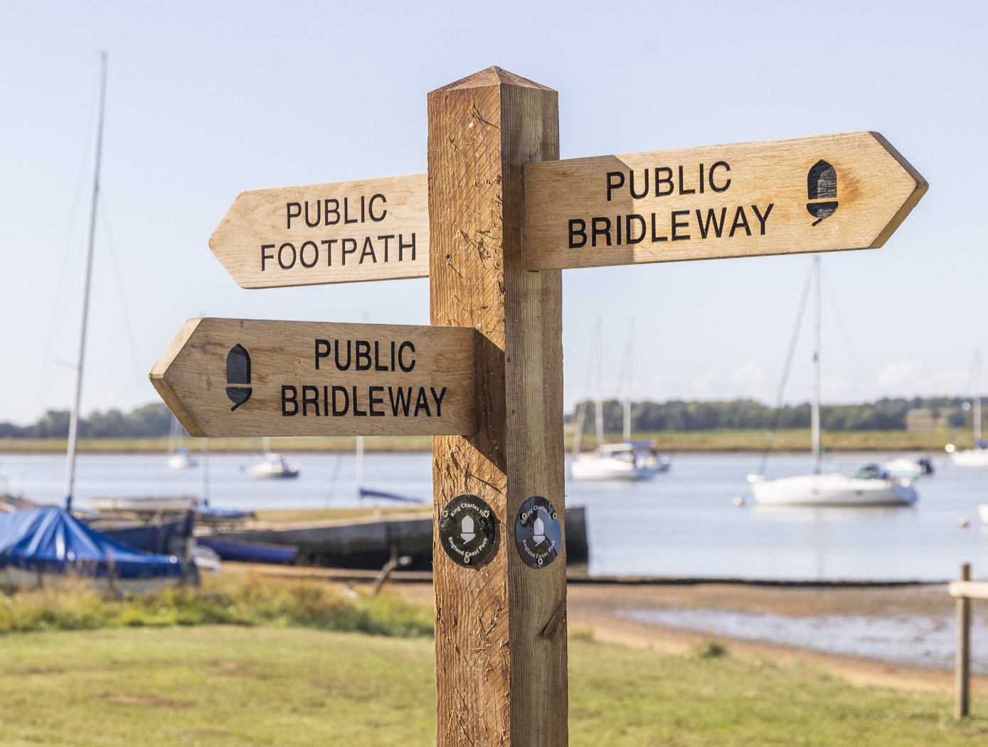
Specially designated by the Government, National Trails are managed to a set of quality standards that set them above other routes, waymarked with the distinctive acorn symbol. The path is created by dedicated Coastal Access teams within Natural England, working closely with the local authorities and landowners.
The section of the King Charles III England Coast Path that runs along the East Anglia coast will be 548 miles (882 km) when complete, from Tilbury on the Thames Estuary to The Wash.
The Suffolk stretch will run from the Essex border near Cattawade on the Stour Estuary, up to the Norfolk border north of Lowestoft, travelling the length of the Suffolk & Essex Coast & Heaths National Landscape.
As of early 2026, large parts of the Suffolk route are now open and have been well signposted with new King Charles III England Coast Path signage, as well as the National Trail acorn logo.
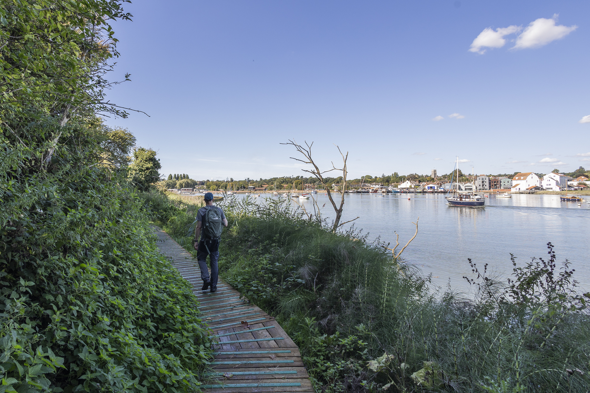
Walkers can enjoy a section of the coast path from Shotley Gate to Bawdsey along the Orwell and Deben estuaries, and from Aldeburgh to Southwold. Work is underway to complete the remaining sections connecting Cattawade to Shotley, and from Bawdsey to Aldeburgh.
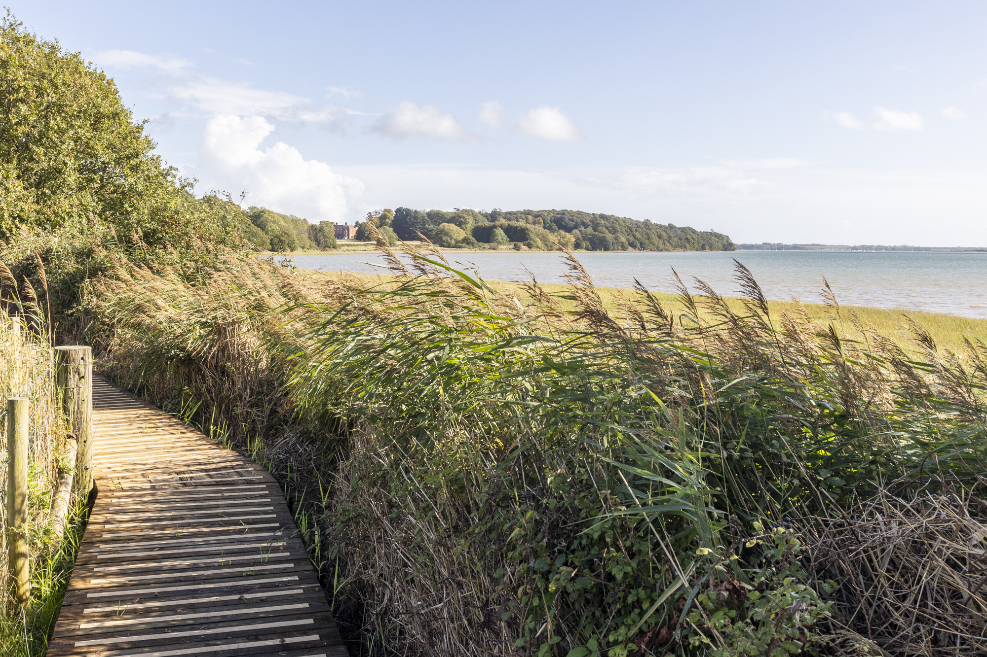
Whilst the opening of the National Trail has seen improvements and access enhancements to existing rights of way, such as boardwalks, renovated footbridges and steps, the most exciting benefit of the new National Trail is the creation of new access rights.
For example, opening the stretch from Felixstowe Ferry to Bawdsey has created 11 miles of new access rights around the scenic Deben Estuary. Prior to the National Trail opening, there was no public access along the estuary between Ramsholt and Bawdsey, a significant gap in Suffolk’s coastal access network.
Additionally, a new section of trail is open inland between Waldringfield and Martlesham. A seasonal foot ferry operates between Bawdsey and Felixstowe Ferry from May to September, creating circular walking opportunities, as well as foot ferry services between Shotley and Felixstowe.
Whilst helping people to enjoy England’s majestic coastline is a key priority, environmental protections ensure wildlife will continue to thrives alongside public access. The route includes a bird-watching screen, designated dog on lead areas, and strategic path positioning and fencing to protect internationally-important populations of birds that spend winter in the estuary.
Whilst parts of the the King Charles III England Coast Path will follow bridleways, the majority of the route will follow footpaths and the path has been created for walkers. Cycling and riding is not permitted on footpaths.
You can find out more information and maps for the King Charles III England Coast Path on the National Trails website.