Suffolk Coast Path
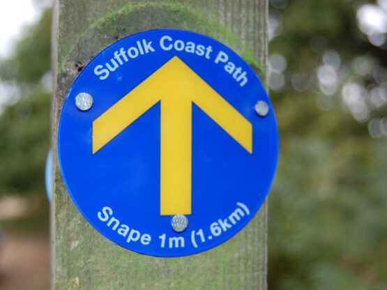
The Suffolk Coast Path runs 60-miles north from the southern tip of Felixstowe up to the seaside town of Lowestoft. Along the way you will really tick off many of the area’s most popular hotspots from your must-visit list.
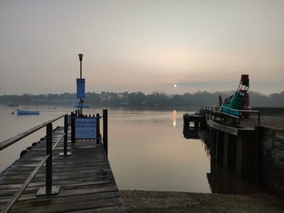
First you can sit back and experience one of the area’s four foot ferries as you cross the river Deben to Bawdsey (check prices and times before travelling).
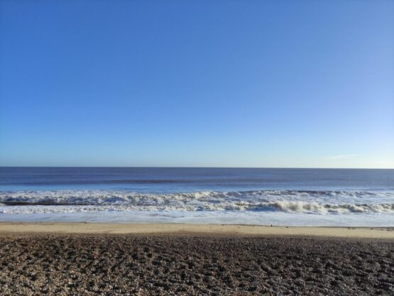
From there the highlights continue, including Tunstall Forest, Snape Maltings, Aldeburgh, Thorpeness, RSPB Minsmere, Dunwich, Walberswick, Southwold and Kessingland through iconic heathland, ancient woodlands, shingle beaches, seaside promenades.
There really is something for everyone, whether you are an experienced birdwatcher or walker, a family on your first adventure, or someone who just wants to taste the different ice cream and local delicacies along the coast at a leisurely pace.
As with the Stour & Orwell, the Coast Path has excellent public transport links with trains running direct between Ipswich and Lowestoft, and there are several hotels and guesthouses along the way, not to mention cosy pubs and cafes, so why not spread your walk out over several days and take your time!
Find out more about planning your visit and advice for during your time in the Suffolk & Essex Coast & Heaths National Landscape.